Knowledge Base
Wind measurements have reached new heights.
4 min read
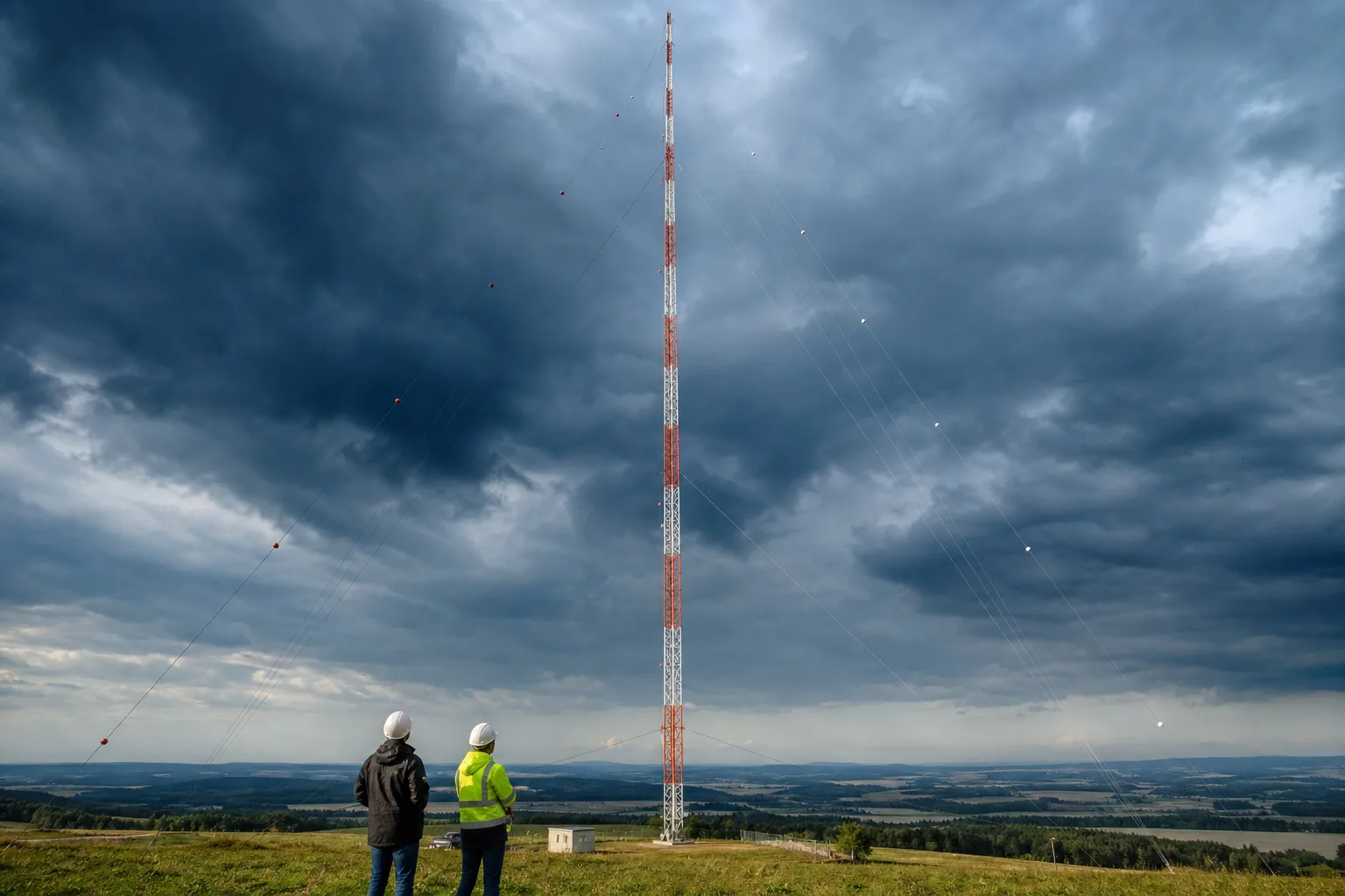
In Germany, in the federal state of Saxony, they installed a mast for wind monitoring with a height of 300 meters. As of now, this is the tallest wind measurement mast in the world, which brings wind measurements to new heights.
The development of engineering solutions during the design of wind farms leads to an increase in their power and geometric dimensions (diameter of the wind wheel). At the same time for increasing the use of wind potential and wind farm construction in places that were previously economically unfeasible, manufacturers are releasing and developing ever higher towers. For example, on the African continent they installed a ground-based wind farm with a tower height of 160 m, and at present a project is being developed for installing turbines in China with a height of 190 m.

Photo from the website www.nabrawind.com
Therefore, for assessing wind potential at the height of the rotor hub it is required to conduct a wind measurement campaign on significant heights than today. Usually for high measurements LIDAR is used. However, using LIDAR often requires calibration measurements with the use of a mast for six months (this requirement is determined by the bank to reduce risks in wind energy projects). If in previous years engineers had accumulated data from joint measurements, which sometimes allowed the use of LIDAR/SODAR without a mast, but these were heights from 80 to 150 m. Therefore, engineers in the field of wind energy have developed a project for conducting measurements using a tower over 200 m high.

Photo from the website www.sprind.org
The wind measurement mast consists of 99 elements and weighs almost 70 tons. For measuring wind parameters, the mast is equipped with 46 instruments. During twelve months measurements will be conducted, but not only for assessing wind potential, but also additionally monitoring bat behavior.

Photo from the website www.sprind.org
However, the main role in the complex of wind measurement equipment is occupied by two LiDAR systems that perform measurements from the ground and are calibrated with the help of a mast. After conducting measurements, the obtained dataset will allow to calibrate LIDAR systems for measuring wind on high altitude. Therefore, in the future it may be possible to conduct measurements at great heights exclusively using LIDAR, which will allow reducing time costs of a wind measurement campaign.
Share: